L. F. Jauffret
Containing, in a Supposed Tour Round the World, Authentic Descriptions of the Geography, Natural History, Manners, and Antiquities of Various Countries.
Translated from the French of L. F. Jauffret.
London: Printed for Richard Phillips, Bridge Street, Blackfriars; and sold by Tabart and Co. at the Juvenile and School Library, No. 157, New Bond Street; and all booksellers, 1808.
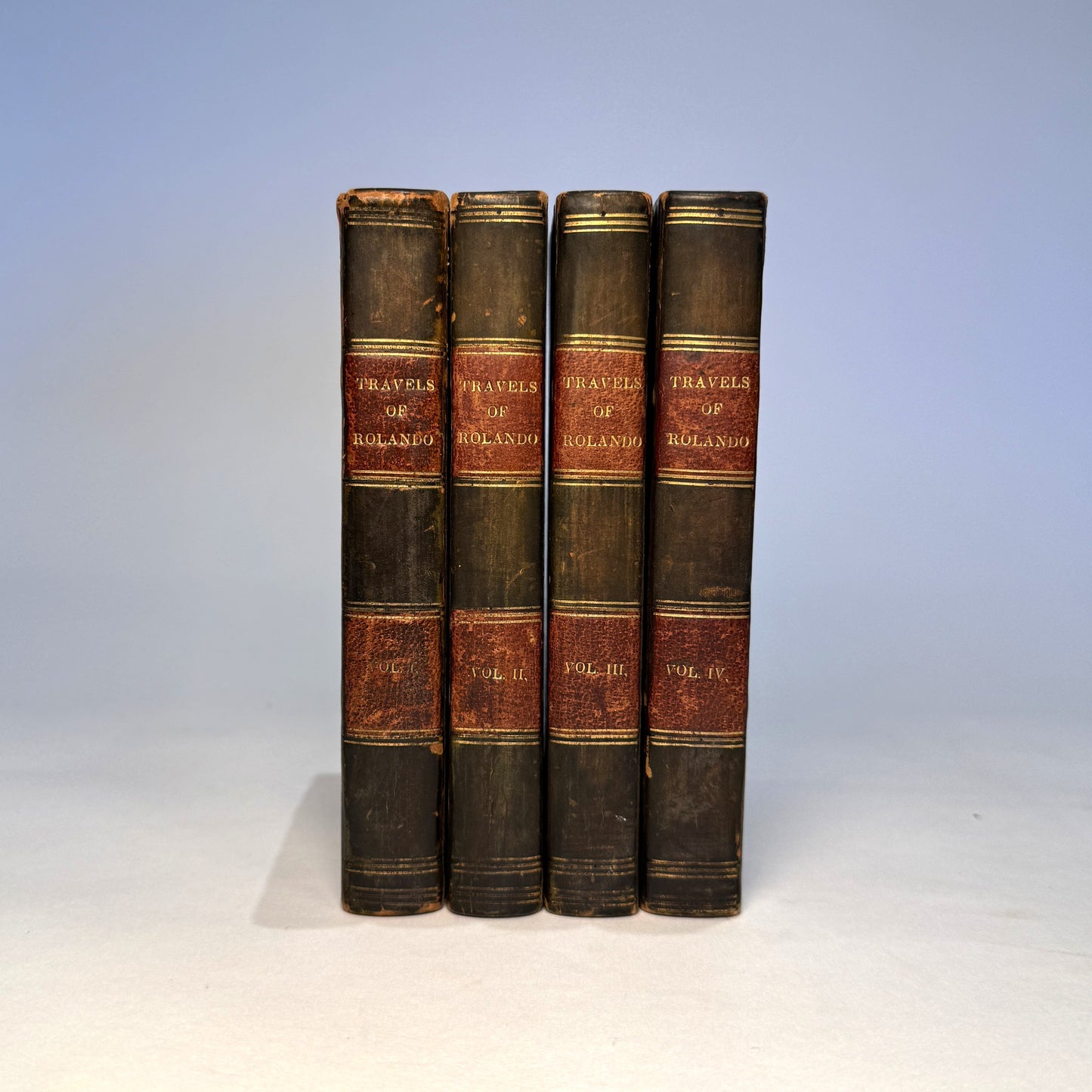
Complete in Four Volumes
12mo. With engraved frontispiece to each volume and folding engraved Map of Africa including the latest discoveries. Contemporary half calf over marbled boards, red morocco spine labels, gilt ruled compartments.
A charming and ambitious early nineteenth-century educational travel narrative, presenting a fictionalised world tour designed to instruct young readers in geography, natural history, and comparative customs.
Rolando’s supposed journey carries the reader across Europe, Africa, the Middle East, and beyond, blending moral instruction with contemporary geographical knowledge. The engraved plates depict scenes of exotic encounter, peril, and cultural curiosity, while the folding Africa map reflects British cartographic understanding at the opening of the nineteenth century, incorporating recent exploratory knowledge.
Though conceived for a juvenile audience, works of this kind are increasingly collected for their early geographical content, engraved illustration, and insight into how distant lands were presented to young British readers during the Napoleonic era.
The survival of the folding Africa map is particularly noteworthy, as it is frequently absent.
Condition
Complete in four volumes, including all engraved frontispieces and folding map. Bindings sound and attractive, with expected rubbing to extremities and joints. Some age toning and scattered spotting throughout, consistent with paper of the period. Map with expected fold lines and light age wear, but no major loss observed.
A very good, original set of an increasingly uncommon early nineteenth-century geographical work.